The Client
Central West Forestry Hub
Challenge
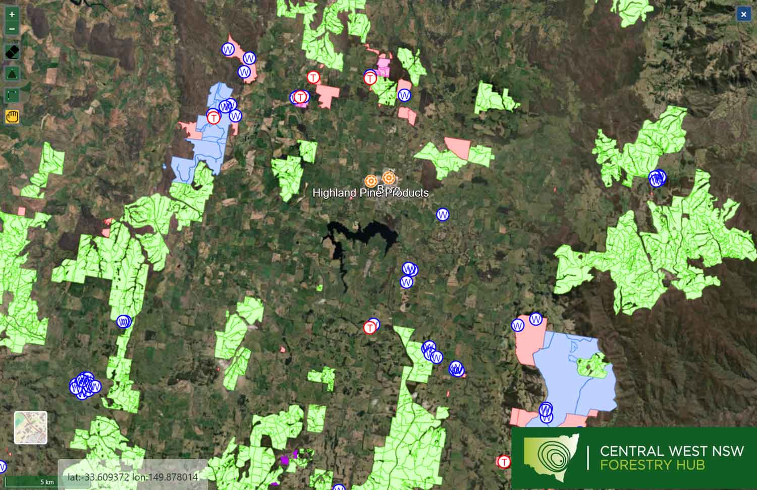
The Hub identified a need to better understand the size, location, characteristics and owner/manager of wood fibre resources available from the region’s plantation estate. In particular, there was a recognised need to better document the private plantation resource base within the boundaries of the Hub and this is a key objective of the project.
Solution
The project scope was developed by the Hub with the intent to develop a Hub-wide representation of current assets and future aggregate supply to the region’s processing facilities. This specifically excluded production of a dataset which could be used to calculate detailed wood flow from any individual forest grower.
A spatial database was developed using information available from the forest and wood products companies operating in the region as well as a range of other publicly available data sources and our own primary research which captures all plantations greater than 5 hectares in the Hub region for use by Hub members and the general public.
Outcomes
The development of a plantation estate spatial database to be available in web-based format for access by Hub members and other stakeholders, as appropriate, via the Hub’s website. The tool has been designed in a manner which makes it is easy to use and navigate, can be readily secured and maintained as new data and information become available, and which provides core information about the plantation estate within the region, for the purpose of understanding where and when wood fibre supply might be available.
Further information
Information on project can be found here.